The Copernicus programme is the European Union’s Earth observation programme. It is run by the European Commission in collaboration with the European Space Agency (ESA), EUMETSAT, the European Environment Agency (EEA), the ECMWF and other European institutions, and is supported and funded by the EU Member States; Norway, Iceland and the United Kingdom participate as full members. The programme consists of three main components: satellites (‘Space’), ground-based measurements and services. The services cover the atmosphere, the marine environment, land monitoring, climate change, disaster and crisis management, and security. There is no other programme in the world with a comparable range of applications, continuity and versatility of satellite data.
As a member of the ESA, Switzerland is involved in the development of the Sentinel satellites. Non-membership affects participation in the EU programme – that is, operations, services, governance and tenders – but not the components covered by agencies of which Switzerland is a member, such as ESA, EUMETSAT, the EEA or the ECMWF. The data is already being used in a variety of ways in Switzerland: The National Drought Platform run by the FOEN, Swisstopo and MeteoSwiss relies heavily on Sentinel-2, amongst other sources; the WSL uses it to determine national vegetation heights; and land cover (Corine Land Cover) is also determined using Sentinel-2 data, amongst other sources.
Nevertheless, in June 2026, the Federal Council decided that Switzerland would not join the programme for the 2028–2034 period either – having already rejected membership for the 2021–2027 period back in 2024. SATW expert Claudia Röösli comments on the latest political developments.
Ms Röösli, Switzerland continues not to contribute financially to Copernicus, but instead makes use of the freely available satellite data. What options does this leave the country with, and which services is it foregoing?
The data from the Sentinel satellites is made available in an initial processed version by the ESA, which operates the satellites on behalf of the Copernicus programme. We are free to use and further process this ‘analysis-ready’ version. Within the ‘Copernicus Services’, there are also many services that process satellite data in conjunction with other data. Much of this information is also freely accessible in the form of European or global maps – although in some cases Switzerland is not included in the calculations or does not have access. For example: in the ground motion map produced by the European Ground Motion Service, Switzerland is omitted and not included in the calculations. Or there is a European surface model to which we have no access – covering the whole of Europe at 10-metre resolution instead of the freely available 30-metre surface model.
However, two other points are more important: Switzerland cannot participate in the definition and development of standards, and some of the services are not adapted to Switzerland. This also means that Swiss companies and universities cannot participate in the operational implementation of many products, even though they have contributed to research and development, and projects thus effectively ‘migrate’ elsewhere. This is particularly problematic when it comes to issues relating to the atmosphere – such as CO₂ and air pollution – as air, after all, does not stop at the Swiss border. Furthermore, the Copernicus programme also has a start-up programme designed to promote new companies and products. Switzerland is unable to take part in this and reap the benefits.
What would it mean if the Sentinel data were no longer freely available one day?
Switzerland would then be unable to develop services based on this data – such as drought monitoring. Nor would the services already in place, or the use of the data by the private sector, be possible any longer – or they would involve additional costs if the data had to be purchased. However, as Switzerland has contributed to the development of most Sentinel satellites through its ESA membership, it has a right to this data. And this is where it gets very complicated: Sentinel-2B, for example, was developed and built by the ESA, but is operated alongside Sentinel-2C, which was funded by the EU.
Why is the use of this satellite data alone not sufficient?
Using raw satellite data requires a great deal of specialist knowledge to extract the relevant information. The data must be further processed to prepare the information – for decision-makers, for example – in such a way that it can be used in day-to-day practice. This processing can be very labour-intensive in some cases, as the volume of data can be very large and additional data, such as ground-based measurements, are also used. Similarly, large-scale products – whether global or European – should be processed in a standardised manner so that they are comparable. As we know, nature does not respect national borders.
The federal government cites the strained financial situation as a reason. However, a recent study shows that the benefits outweigh the costs. What is your view on this?
I find it difficult to understand and accept the argument that Switzerland, as one of the wealthiest countries in Europe, has ‘too little money’ to contribute its share to Copernicus. Furthermore, the federal administration, the cantons and the private sector are increasingly recognising the benefits of satellite data and Copernicus services and relying on them. What I believe is often missing from the discussion is the economic benefit generated by the involvement of Swiss companies in the development of Copernicus services, as well as by new companies and products, which in turn directly benefits the economy and the state.
The training and expertise at universities are very good. At present, however, this potential cannot be harnessed in Switzerland, as the relevant industrial sectors – even compared with neighbouring countries – are still underdeveloped. The money invested cannot be channelled into the economy, or skilled workers are leaving the country. Examples of this include the aforementioned Ground Motion Service, which Switzerland commissions separately; start-up funding; and the Corine Land Cover dataset, which is produced for Switzerland in accordance with Copernicus standards.
Parliament has repeatedly and across party lines spoken out in favour of joining Copernicus – most recently, during the 2026 summer session, the National Council once again called on the Federal Council, via Motion 24.3717, to participate in the Copernicus programme as soon as possible. How is the Federal Council’s unilateral approach perceived within the Swiss and European research and political landscape?
Personally, I find it perplexing that, following the clear signals from Parliament – the Romano motion – and its own 2022 decision to seek membership for the 2021–2027 programme period, the Federal Council has once again discussed the matter and rejected the proposal for the first time in 2024. Now the Federal Council has decided to forego membership for the 2028–2034 programme period as well, even though a recent study demonstrates clear benefits: the study by Swiss Economics estimates implementation costs of 48 million Swiss francs per year, which are offset by significantly higher benefits. As far as I am aware, the general sentiment within the business and research communities is the same: there is a great deal of confusion and uncertainty as to what still needs to be done for Switzerland to be able to join. To my knowledge, there are few, if any, other programmes that offer such extensive and wide-ranging benefits across so many areas, from which everyone can benefit.
What are the consequences for Copernicus if a financially strong research hub such as Switzerland does not act as a supporter?
I think the consequences for Copernicus itself are not significant, as it is a very large programme with many participants. At most, Switzerland’s high level of expertise may not be utilised optimally for the further development of the programme and its services – but Europe has already built up a great deal of expertise of its own.
Swiss companies and universities are excluded from the well-funded, Copernicus-financed public contracts and tenders. What long-term damage does this pose to Switzerland as a hub for technology and research?
Developments in the field of robotics in Switzerland clearly demonstrate how worthwhile it is to invest in emerging fields of the future – precisely thanks to the innovative strength and high standards of Switzerland as a hub for technology and research. I see similarly high potential in the use of satellite data, and I believe we are failing to capitalise on this opportunity. Precisely because independent data and data expertise are becoming increasingly important, Switzerland is falling further and further behind, and investments – for example, in the training of skilled workers – are going to waste. In my view, the main long-term drawbacks are that we are missing out on the opportunity to build up expertise, innovation and economic strength through the use of this data, and to generate new data-driven economic sectors.
Is there a risk that leading researchers or innovative Swiss space start-ups might move to other European countries because they are being held back here?
As space start-ups do not have access to the Copernicus tenders, I can well imagine that this may be a hindrance and that companies are looking for alternative solutions. Generally speaking, in Switzerland we see that – relative to the country’s overall innovation potential – a comparatively small number of start-ups are emerging in the field of Earth observation. In my work, I also observe that whilst some students in Switzerland are seeking roles in Earth observation, this sector is less developed here than in other countries.
As far as research is concerned, we are generally not greatly affected, as we are often users of freely available satellite data or products – consequently, there is a great deal of high-quality research in the field of Earth observation coming out of Switzerland. However, we researchers are directly affected when it comes to transferring any products developed – for example, from ESA projects – into the operational Copernicus services, as we are excluded from Copernicus calls for proposals. Furthermore, it is difficult for researchers to know which calls for proposals Switzerland is eligible to participate in – for example, we are members of ESA and the EEA and are permitted to take part in their calls for proposals.
There are currently six different types of Sentinel satellites – a total of around a dozen individual satellites – which observe the Earth from space. A basic distinction is made between active satellites, which transmit their own signals, and passive systems, which analyse the light reflected back from the Earth’s surface or atmosphere.
Work is currently underway on the next generation of Sentinel-1 to -6, and six new, complementary satellite types are already being built (Sentinel Expansion Missions). The only comparable freely available resource is NASA’s Landsat data: optical, multispectral imagery that has been available since around 1972 and surpasses all other programmes in terms of continuity. However, the Landsat programme is limited to a single satellite type and the provision of data without associated services – with lower temporal and spatial resolution than Sentinel-2 (30 metres instead of 10 metres).
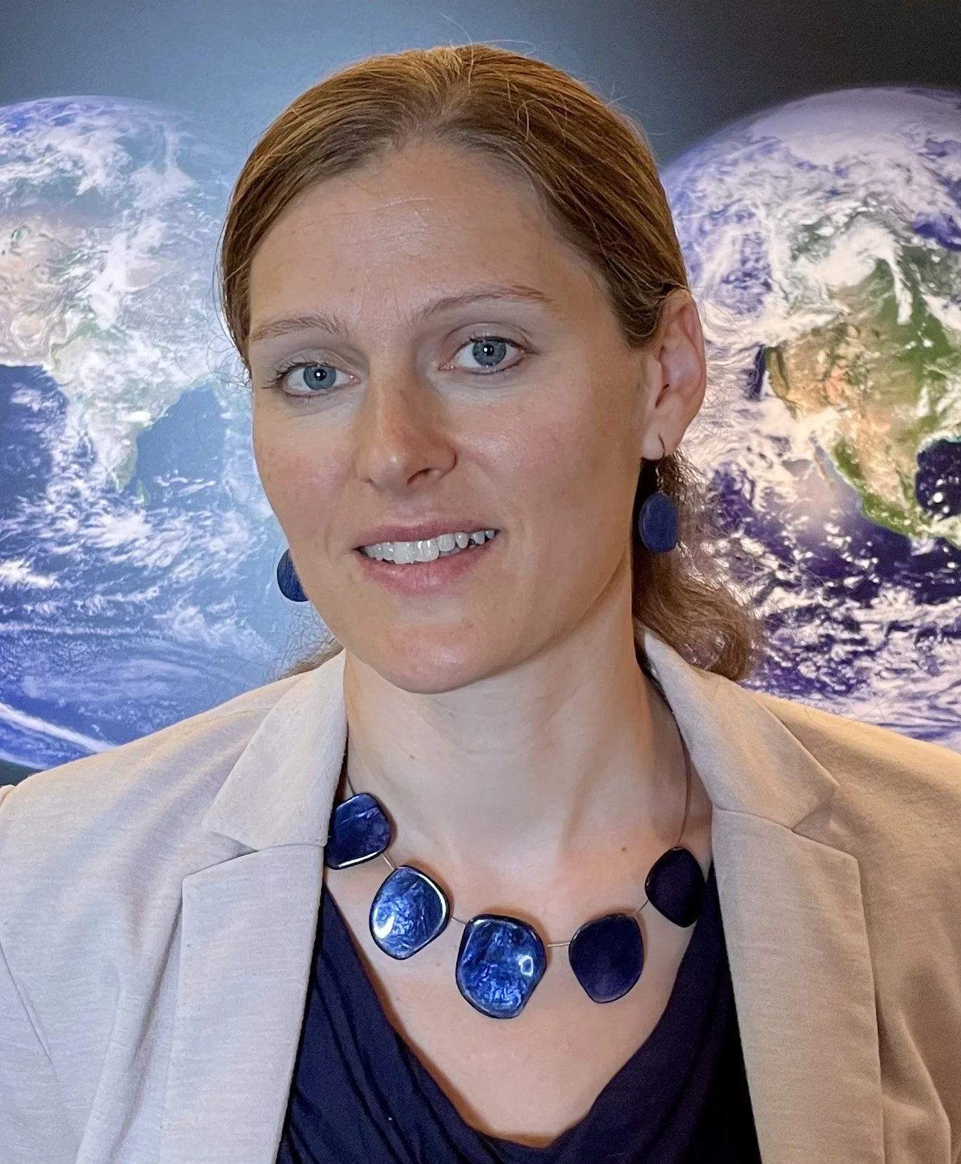
Dr Claudia Röösli is Head of the Earth Observation Applications and Services Group at the Remote Sensing Laboratory (RSL) at the University of Zurich. She is interested in making satellite data useful for everyday life, for example in biodiversity monitoring. For example, she co-leads an initiative to use Earth observation data to monitor indicators of genetic diversity, and is planning a satellite mission to observe biodiversity. As an ‘UZH Innovation Ambassador’, she is committed to ensuring that academic research is put into practice and that collaboration with industry is strengthened. She is also active in networks such as the UZH Space Initiative and has co-curated her own exhibition featuring satellite images. She also heads the scientific section of the National Point of Contact for Satellite Images (NPOC), which provides scientific advice to Swiss organisations on the use of satellite data; the NPOC is funded by the State Secretariat for Education, Research and Innovation (SERI) (Swiss Space Office) and forms part of Space Exchange Switzerland.
| Role | Title + Name |
|---|---|
| Text by | Claudia Schärer |
| Expertise | Claudia Röösli |